C-FLOOD will act as a unified system integrating flood modelling outputs from national and regional agencies, offering a comprehensive decision-support tool for disaster management authorities.
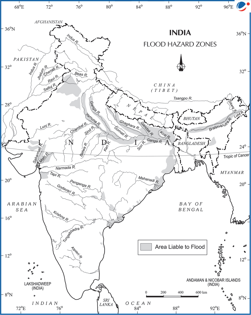
- Over 40 million hectares (mha) (~12% of total area) out of 329 mha is flood prone in India.

About C-FLOOD
- It is a web-based platform providing 2-day advance flood inundation forecasts up to village-level.
- It uses advanced 2-D hydrodynamic modelling to simulate flood scenarios.
- It offers flood inundation maps and water level predictions to aid disaster preparedness.
- Jointly developed by:
- Centre for Development of Advanced Computing (C-DAC), Pune.
- Central Water Commission (CWC), nodal organisation entrusted with the task of flood forecasting & early flood warnings in the country.
- the Department of Water Resources, River Development & Ganga Rejuvenation, Ministry of Jal Shakti.
- National Remote Sensing Centre (NRSC) has also collaborated in its development.
- Execution: Under the National Supercomputing Mission (NSM)
- NSM was launched in 2015 with the aim to empower India in supercomputing capabilities.
- Jointly steered by the Ministry of Electronics and Information Technology (MeitY) and Department of Science and Technology (DST).
- Present Coverage: Mahanadi, Godavari, and Tapi river basins. Planned to expand to cover all river basins across India.
- Forecasts to be integrated with the National Disaster Management Emergency Response Portal (NDEM).


