
Vanuatu (Capital: Port Vila)
Vanuatu has been in spotlight due to its Prime Minister's decision to cancel a passport issued to an Indian fugitive, following an Interpol alert.
Political Features:
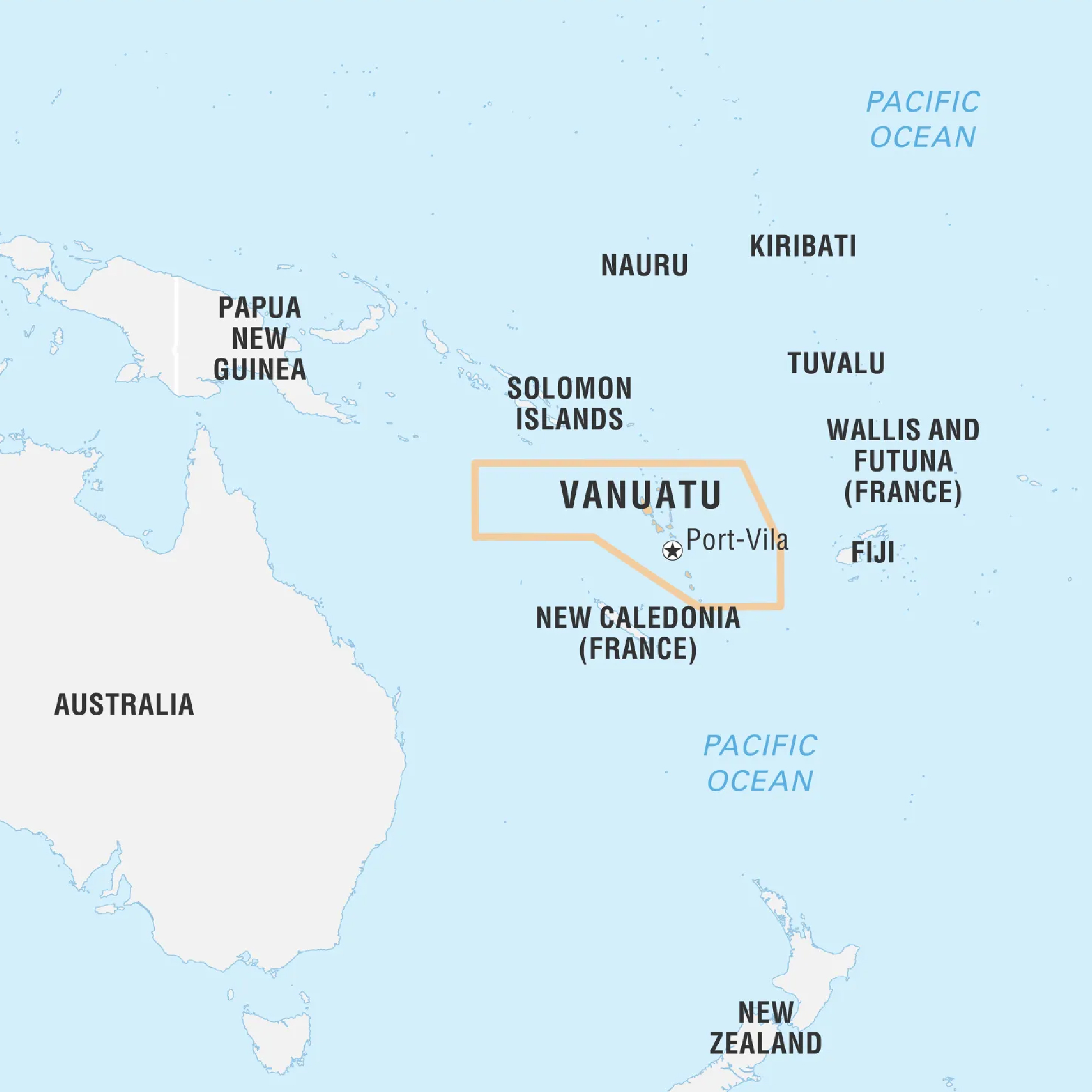
- Location: Vanuatu is an archipelago (Part of Melanesia) in South Pacific Ocean, situated east of northern Australia and west of Fiji.
- Land Boundaries: Vanuatu comprises over 80 islands, with no land borders.
- Maritime Boundaries Surrounded by the South Pacific Ocean, with an extensive Exclusive Economic Zone (EEZ).
- Colonization: Formerly the jointly administered Anglo-French condominium of New Hebrides, Vanuatu achieved independence in 1980.
Geographical Features:
- Physical Regions: Vanuatu's islands are of volcanic origin, featuring mountainous terrains and coastal plains.
- Major Islands: Notable islands include Espiritu Santo, Malakula, and Efate.
- Highest Point: Mount Tabwemasana on Espiritu Santo.

