Why in the News?
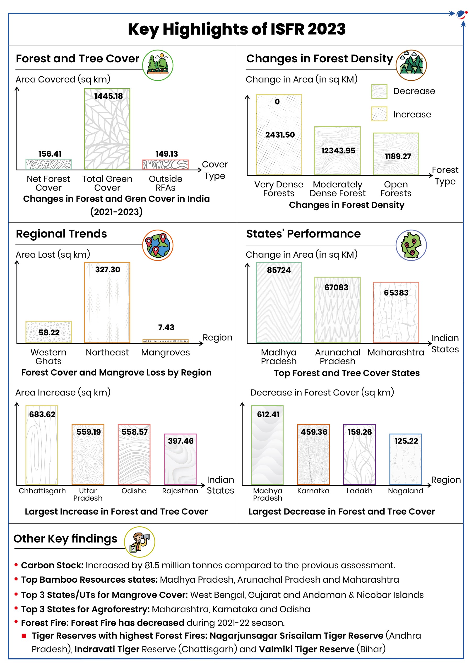
The Ministry of Environment, Forests and Climate Change (MoEFCC) recently released the India State of Forest Report (ISFR) 2023.

About ISFR
- Overview
- Prepared by Forest Survey of India (FSI)
- Published every two years since 1987
- Assessment Method
- Used satellite data
- National Forest Inventory data
- Field verification
- Covered 751 districts (up from 636 in previous report)
Key Definitions Used in ISFR 2023

- Tree Cover: Comprises all tree patches outside the forest area, which are less than one hectare in extent including all the scattered trees found in the rural and urban settings, and not captured under the forest cover.
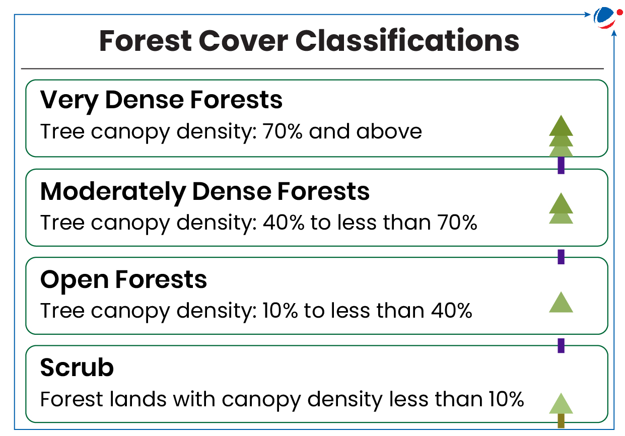
- Forest Cover: Defined as all lands, more than one hectare with a tree canopy density of more than or equal to 10% including orchards, bamboo and palm, irrespective of ownership, legal status and land use. Such lands may not necessarily be a recorded forest area (RFA).
- Forest Area: Also known as the Recorded Forest Area (RFA), it is defined as "all such lands which have been notified as forest under any Government Act or Rules or recorded as 'forests' in the Government Records".
- Thus, the term 'forest area' denotes the legal status of the land as per the government records, whereas the term 'forest cover' indicates presence of trees over any land.

Conclusion
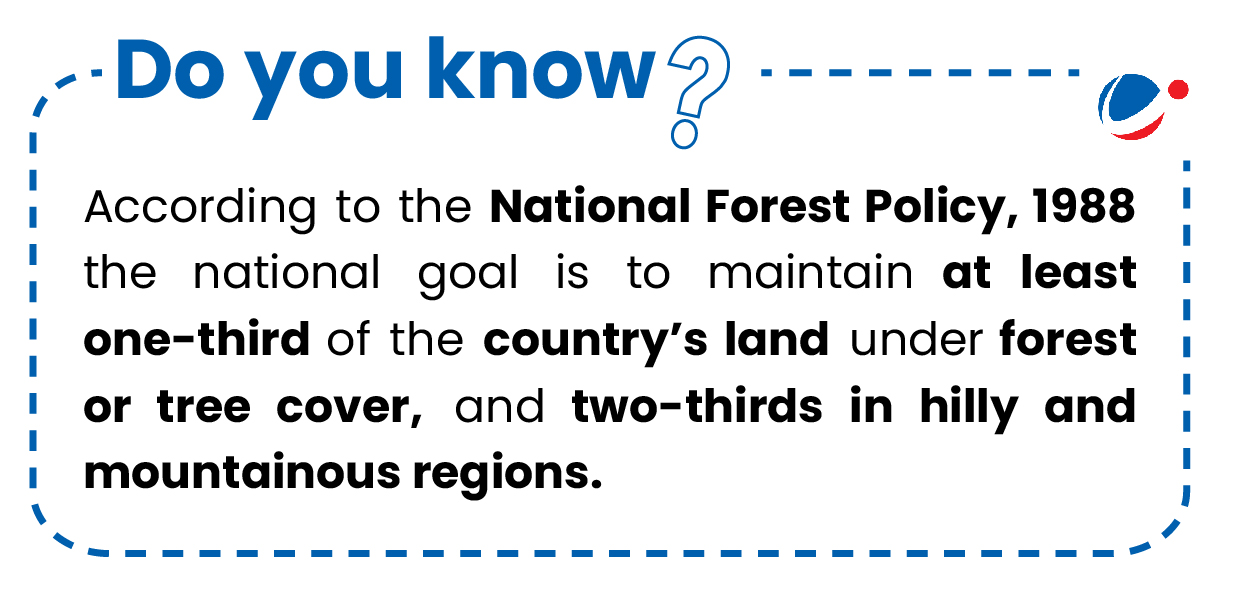
The ISFR 2023 Report demonstrates India's commitment to forest monitoring. However, its broad definition of 'forest cover', which includes urban green spaces and plantations, may overestimate forest coverage while overlooking internal degradation, raising questions about data reliability. This underscores the need for more precise forest assessment criteria.


